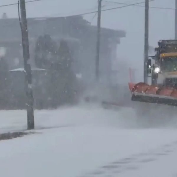
A major winter storm is currently affecting large portions of the United States, from the Northeast and Rockies to Alaska. Officials warn of hazardous travel, heavy snow, strong winds, and mixed precipitation that could create slick roads, low visibility, and scattered power outages.
Winter Storm Warnings
The National Weather Service (NWS) has issued warnings in at least 10 states:
Northeast:
-
Connecticut: Hartford County sees up to 1 inch more; Middlesex, New London, Fairfield, New Haven, and Litchfield counties may get 2 inches plus ice.
-
Massachusetts: Western Hampden and Berkshires could get up to 2 inches.
-
New York: Capital Region, Mohawk Valley, Catskills, and Taconics up to 2 inches; Central and southern counties 6–12 inches. NYC and Long Island face icy conditions.
-
New Jersey: Heavy mixed precipitation in eastern counties.
-
Pennsylvania: Northern Wayne and Pike counties with snow, sleet, and light ice. Travelers urged to carry emergency supplies.
Rockies and Western U.S.:
-
Colorado: Rabbit Ears Pass, Elkhead, and Park Mountains 6–18 inches; Wolf Creek and Cumbres Pass 6–12 inches with gusts near 50 mph.
-
Idaho: Sawtooth Basin and Sun Valley 8–18 inches, gusty winds reducing visibility.
-
Wyoming: Sierra Madre Range 12–18 inches with winds up to 45 mph.
-
California: Mono County could see 18 inches at higher elevations; wind gusts over 80 mph on ridgelines.
Alaska:
-
Panhandle expected to see extreme totals: Yakutat up to 45 inches, Juneau 34 inches, Skagway and Haines 18–36 inches. Blowing snow and strong winds may make travel nearly impossible.
Key Impacts
-
Travel: Hazardous or impossible in many areas due to snow, ice, and reduced visibility.
-
Power: Strong winds may cause scattered outages.
-
Timing: Most warnings outside Alaska end Saturday; Alaska’s warnings continue into Monday.
Winter Weather Advisories
Additional advisories cover the Rockies, Intermountain West, Pacific Northwest, and parts of the Northeast and Mid-Atlantic. Snow, ice, and strong winds may affect travel through Saturday, with some regions extending into Sunday.
Mountain and High-Elevation Impacts:
-
Montana: 1–6 inches with gusts up to 50 mph.
-
Wyoming: 2–14 inches in ranges including Tetons and Snowy Range.
-
Utah: Wasatch and Uinta Mountains 6–12 inches, up to 2 feet at highest elevations.
-
Pacific Northwest: Cascades and Blue Mountains 4–11 inches, gusts up to 50 mph.
-
Southwest: Arizona and New Mexico mountains see 1–12 inches.
Northeast & Mid-Atlantic Advisories:
-
Massachusetts, Rhode Island, Connecticut: Light snow until mid-morning Saturday.
-
New York & Pennsylvania: Mixed precipitation with snow and ice; Jefferson and Lewis counties 4–7 inches.
-
New Jersey, Delaware, Maryland, eastern Pennsylvania: Freezing drizzle and light ice creating treacherous roads.
Safety Tips:
-
Avoid travel if possible.
-
Prepare emergency supplies, including flashlight, food, water, and blankets.
-
Monitor local road and weather reports.
This storm is one of the most widespread and intense of the season, with hazardous conditions expected to continue into early next week, especially in Alaska and high-elevation regions.


Leave a Reply