MIAMI, Fla. — Hurricane Melissa has exploded into a Category 5 storm, bringing devastating winds, torrential rainfall, and catastrophic flooding to parts of the Caribbean. According to the National Hurricane Center (NHC), Melissa is expected to continue intensifying as it moves slowly toward Jamaica, posing life-threatening risks throughout the region.
At least four deaths have already been reported across Haiti and the Dominican Republic, according to AccuWeather.
Hurricane Melissa Summary (as of 8 a.m., Oct. 27):
-
Pressure: 913 mb
-
Location: 135 miles southwest of Kingston, Jamaica; 320 miles southwest of Guantanamo, Cuba; 724 miles south of West Palm Beach, Florida
-
Maximum sustained winds: 160 mph
-
Movement: West at 3 mph
Meteorologists warn that Melissa could strengthen even further in the next 12–24 hours as it moves over warm Caribbean waters with low wind shear. The storm is expected to make landfall in Jamaica on Tuesday morning, Oct. 28, before moving into southeastern Cuba late Tuesday into Wednesday, Oct. 29.
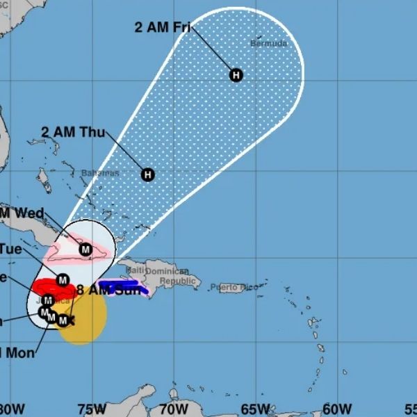
Hurricane Melissa Path and Spaghetti Models
Latest spaghetti model projections indicate that Hurricane Melissa’s center will likely pass near or over Jamaica, then curve northwest toward Cuba. Most reliable forecast models — including the GFS, ECMWF, and HWRF — suggest that Melissa will not make direct landfall in the southeastern United States, unlike previous storms such as Erin and Imelda.
North Carolina Forecast
While the current trajectory keeps Melissa well to the south, meteorologists in North Carolina continue to monitor potential indirect impacts, including increased surf, rip currents, and coastal erosion along the Outer Banks later this week. However, no direct landfall or significant wind or rain effects are expected for North Carolina at this time.
Important Note on the Forecast Cone
The NHC emphasizes that the forecast cone represents the most likely path of the storm’s center, not the full width of its impacts. The center can move outside the cone up to 33% of the time, so residents across the Caribbean and the Southeast U.S. should continue to monitor updates closely.
Forecasters urge those in Jamaica, eastern Cuba, and the Cayman Islands to prepare for life-threatening flooding, storm surge, and destructive winds as Hurricane Melissa continues its deadly path through the Caribbean.
This article has been carefully fact-checked by our editorial team to ensure accuracy and eliminate any misleading information. We are committed to maintaining the highest standards of integrity in our content.


Leave a Reply