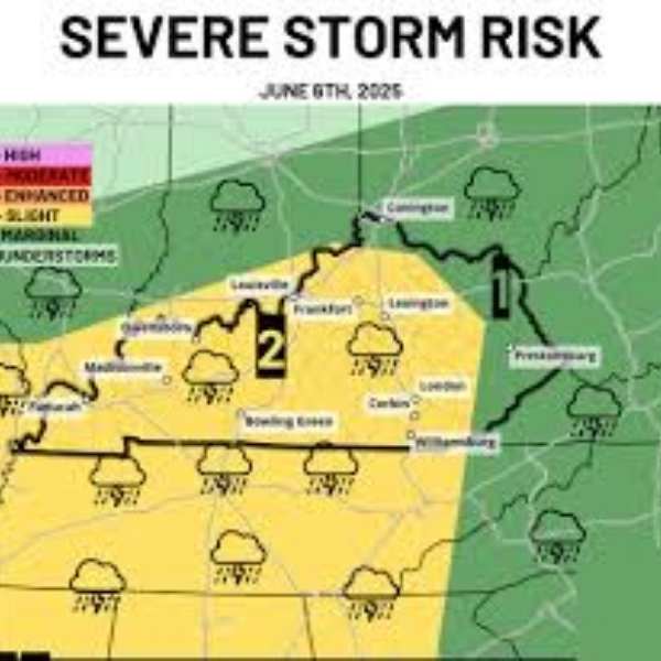
KENTUCKY — Thundershowers are likely across the state on Friday, April 24, 2026, during the afternoon and evening, though no significant severe weather is expected.
The Severe Weather Outlook through April 25 places Kentucky in a general thunderstorm zone, indicating limited storm intensity. While a few stronger cells could produce very small hail or brief gusty winds, widespread severe weather is not anticipated.
Statewide thundershower chances Friday afternoon and evening
Forecasts show the entire state under the general thunderstorm category, including major cities such as Louisville, Lexington, Frankfort, Covington, Owensboro, Madisonville, Paducah, Bowling Green, Corbin, London, Prestonsburg, and Williamsburg.
Storms are expected to develop during the afternoon and continue into the evening, with timing varying by location as cells move through different parts of the state.
No significant severe threat with Friday’s storms
Unlike recent severe weather seen elsewhere in the country, Friday’s activity in Kentucky remains in the lowest risk category. There is no Marginal, Slight, or Enhanced risk designation, meaning organized severe storms are unlikely.
Any impacts should remain minimal, limited to isolated small hail or brief wind gusts in stronger pockets of activity. Most residents can proceed with normal plans without major concern.
Scattered storms make rainfall unpredictable
Storm coverage will be highly scattered, making rainfall uneven across the state. Some areas may see brief heavy downpours, while others remain completely dry—even within the same city or county.
Because of this spotty pattern, rainfall is not guaranteed in any one location, and outdoor plans may only need minor adjustments depending on local conditions.


Leave a Reply