UNITED STATES — A developing severe weather setup is expected to bring dangerous storms across the Ohio Valley on Sunday, with multiple states facing risks from supercells, large hail, and damaging winds as the system evolves.
Severe Weather Setup Across the Ohio Valley
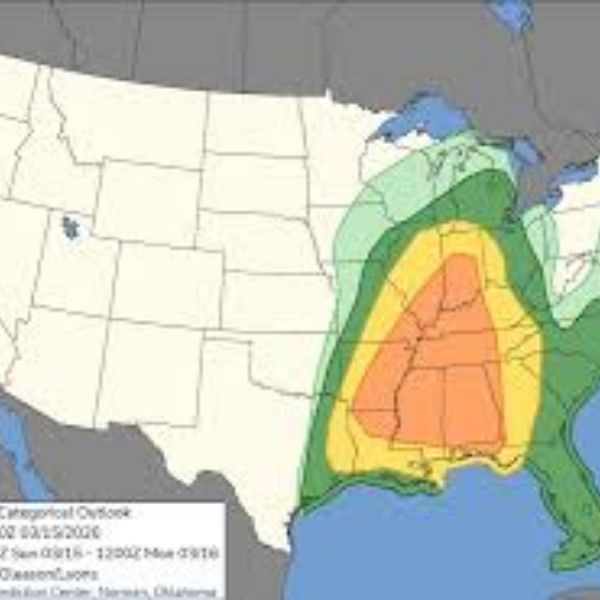
Forecasters have outlined a Level 2 (Slight Risk) across a broad corridor from southern Illinois through Indiana, Ohio, Kentucky, West Virginia, and into western Pennsylvania. This area highlights the potential for organized severe thunderstorms capable of producing notable impacts.
The atmospheric setup supports strong instability along with favorable wind shear, creating conditions that allow storms to intensify quickly. Development is expected to begin during the afternoon, especially across Illinois and Indiana, before expanding eastward.
Supercells Likely to Develop First
Storms are expected to initially form as discrete supercells, particularly from southern Illinois into Indiana and western Kentucky. These storms pose the greatest risk for large hail and isolated damaging wind gusts.
As these supercells strengthen, they may produce hail large enough to cause property damage, especially during peak afternoon heating. Their isolated nature also increases the risk of localized severe impacts.
Transition Into a Damaging Line by Evening
By late afternoon into the evening, storms are expected to merge into a more organized line, moving eastward into Ohio, West Virginia, and western Pennsylvania.
This shift will increase the threat of widespread damaging winds, with the potential for a fast-moving squall line. Communities should prepare for sudden wind gusts capable of downing trees and power lines, particularly during the evening commute.
Key Timing and Impact Areas
Timing will play a critical role in this system. Storms are expected to develop during the afternoon across Illinois and Indiana, then intensify and move eastward into the evening.
By nighttime, the strongest storms may impact Ohio, West Virginia, and Pennsylvania, where the organized line could maintain strength. This progression means different states will experience severe weather at varying times, increasing the overall regional impact.
What Residents Should Watch For
Residents across the Ohio Valley should closely monitor conditions as storms develop. The main threats include large hail early in the event and damaging straight-line winds later.
Storms are expected to evolve rapidly, meaning conditions could change quickly within a short period. Areas under the Slight Risk should stay alert for warnings and fast-moving storms, especially during the late-day hours.
Final Outlook
This setup reflects a classic early spring severe weather pattern for the Ohio Valley, with multiple hazards and a clear transition from isolated supercells to a damaging line of storms.
Although categorized as a Level 2 risk, the potential for localized severe impacts remains significant across Illinois, Indiana, Ohio, Kentucky, West Virginia, and Pennsylvania.
Residents are encouraged to stay weather-aware throughout Sunday and be prepared in case warnings are issued.


Leave a Reply