A midweek weather system is expected to bring snow to multiple states across the Ohio Valley and Mid-Atlantic, according to AccuWeather forecasters in a media advisory shared with Newsweek on Tuesday.
“While snowfall amounts are expected to be lower than recent storms, lingering cold will allow even modest snow and refreezing to disrupt travel and operations,” the advisory said.
AccuWeather reported that the system is forecast to move into western Tennessee on Tuesday before tracking east and reaching the Virginia coast by Wednesday. The system is expected to move quickly and avoid rapid strengthening, which should keep snowfall totals below those recorded during late January storms.
An AccuWeather map shows areas that could see snow Tuesday night. Forecasts provided to Newsweek indicate that snow or snow showers are likely from southern Illinois and western Kentucky eastward through Virginia, Maryland, and Delaware. Higher snowfall totals are possible across southern Indiana, southern Ohio, Kentucky, and West Virginia.
AccuWeather said Baltimore and Washington, D.C., could see up to an inch of snow late Tuesday night into Wednesday morning.
“Cities like Washington, D.C., or Baltimore could see upwards of an inch late Tuesday night into Wednesday morning, and even a stripe of snow that tries to make it to the Eastern Shore of Maryland,” AccuWeather meteorologist Tyler Roys said.
David Roth, a meteorologist with the Weather Prediction Center, told Newsweek that snow and ice remain widespread across much of the country, including states recently impacted by major winter storms.
“This will intersect some of that storm’s pattern,” Roth said.
Fox Weather also reported that a stronger clipper system is expected to move across the Great Lakes and Northeast late Thursday, potentially bringing 1 to 3 inches of snow, with higher totals possible in elevated areas.
“Forecast details will continue to be refined as the event draws closer,” the Fox Forecast Center said Monday.
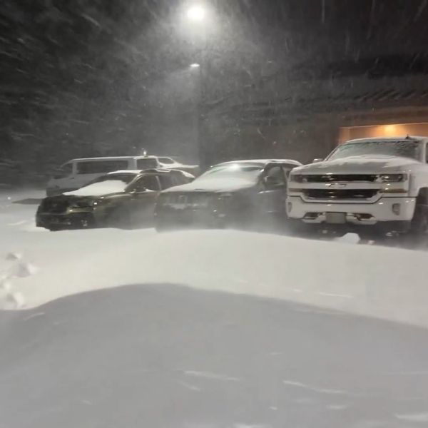
The latest forecasts follow a bomb cyclone that prompted weather warnings in several states and dropped more than a foot of snow in parts of North Carolina over the weekend.
A bomb cyclone, also called bombogenesis, occurs when warm and cold air masses collide or when a cyclone rapidly intensifies within a 24-hour period, according to the National Oceanic and Atmospheric Administration.
This article has been carefully fact-checked by our editorial team to ensure accuracy and eliminate any misleading information. We are committed to maintaining the highest standards of integrity in our content.


Leave a Reply