


Now that summer has come to an end, portions of Texas are already seeing weather that feels more in line with the season of pumpkin spice and crisper temps. According to the National Weather Service, one region will see a cold front (and possibly some rain) this week. This is where.
The Amarillo NWS office predicts that a cold front will pass through the Texas Panhandle this week. In a post on Tuesday, September 8, X cautioned people that “rain chances return for all of the Panhandles” by Wednesday.Depending on where a cold front passes, the southern Texas Panhandle will have a larger likelihood of rain than the rest of the Panhandles,” according to an X post.
Continuing, the NWS stated that it is monitoring to see where the predicted cold front will stall, as this will decide which area of the Panhandle has the best probability of storms. “Right now there looks to be a medium to high chance for at least some rain to occur in the central to north central Panhandle,” the article stated.
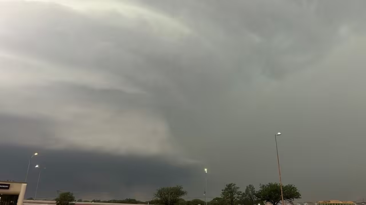
The majority of the northern Panhandle along the Oklahoma border, as well as the southeast, will have 20 to 40% chance of rain from Wednesday afternoon to Wednesday nite. The odds for the southern Texas Panhandle increase to 40 to 60%, according to the NWS on social media. Residents should be prepared for more than just rain, as strong thunderstorms may bring penny-sized hail and wind gusts of up to 60 mph.
However, don’t anticipate relief from the Texas heat anytime soon. According to the NWS, temperatures in the Panhandle will be “above normal” for the next five days, with some locations on track to set record highs. “Some sites may have multiple record-breaking days,” the NWS Amarillo prediction states. Above-average temperatures are expected to last until mid-September.










Leave a Reply