A cold front is set to bring thunderstorms to Middle Tennessee next week.
NASHVILLE, Tenn. (WSMV) – Storm chances are expected to increase across the Midstate during the mid-to-late part of April.
April typically marks the peak of severe weather season in Middle Tennessee. So far, conditions have remained quiet, with little to no severe activity. However, that pattern may shift as the month progresses.
Forecast models show signs of increasing storm activity in the Plains states as early as this weekend, with severe weather chances continuing to build into early next week.
Meteorologists point to growing atmospheric energy—often referred to as storm fuel—by late Monday. At the same time, conditions may support the development of supercells, or rotating thunderstorms, across parts of the Plains.
Multiple severe weather outbreaks could occur this weekend and early next week across the Plains states.
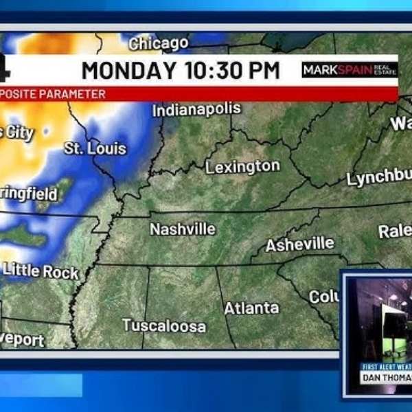
Rotating thunderstorms may develop from Oklahoma through Iowa and into Illinois on Monday.
Looking ahead to late Thursday next week, similar forecasts for Tennessee and southern Kentucky show enough storm fuel to produce showers and thunderstorms. However, the potential for rotating storms appears significantly lower.
This suggests that while severe weather chances in the region remain low, the system still warrants close monitoring given the time of year.
The following week, from April 19 through April 25, is expected to bring more opportunities for rain along with an increased risk of severe weather in Middle Tennessee.
Showers and thunderstorms are becoming more likely toward the end of next week, with a low but possible chance of severe storms.


Leave a Reply