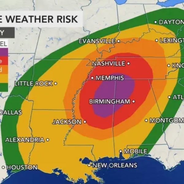
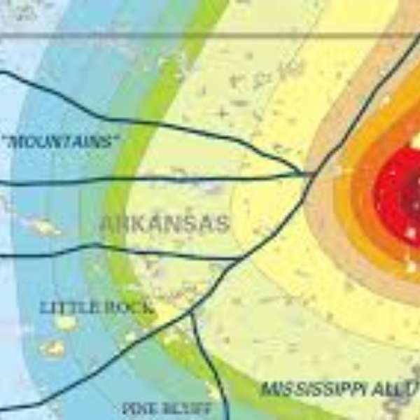
PADUCAH — The National Weather Service in Paducah is monitoring the potential for severe thunderstorms from Saturday afternoon through early Sunday morning. Forecast confidence has grown since yesterday, and the Storm Prediction Center has expanded the Slight Risk area (level 2 of 5) to include much of the region.
Forecasters expect storms to develop Saturday afternoon across southeast Missouri and southern Illinois before organizing into a larger complex that moves into southwest Indiana and western Kentucky by evening. Threats include brief tornadoes, damaging wind gusts, and isolated large hail.
Rainfall totals between 0.75 and 1.5 inches are expected, with higher amounts likely across southeast Missouri and southern Illinois. While minor flooding could occur in some areas, the overall threat for significant flash flooding remains low.
This article has been carefully fact-checked by our editorial team to ensure accuracy and eliminate any misleading information. We are committed to maintaining the highest standards of integrity in our content.


Leave a Reply